
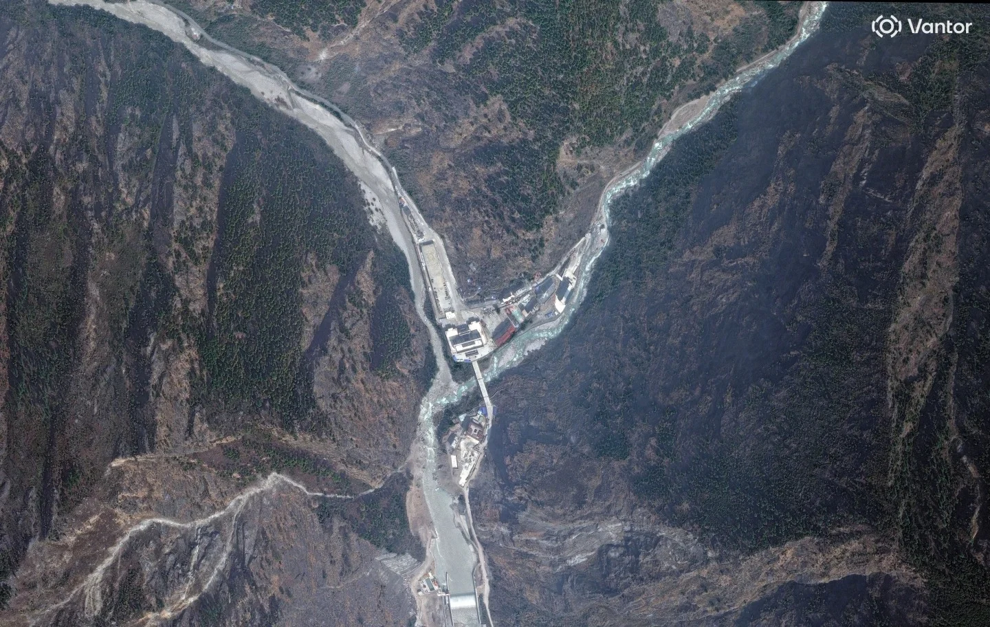
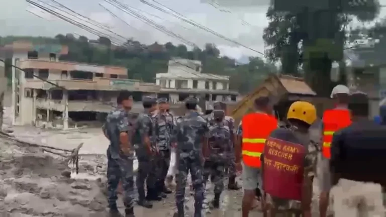
As search and rescue operations continue for hundreds of people missing following catastrophic flooding along the Nepal-China border, Earth scientists are utilizing satellite imagery to determine the precise cause of the disaster. The event, which occurred on Wednesday, has resulted in hundreds of fatalities across Nepal and Tibet, with many foreign nationals and pilgrims among those still unaccounted for.
Geomorphologists Kristen Cook and Dan Shugar initially struggled to assess the site due to heavy cloud cover and debris-related dust. However, clearer imagery obtained on Thursday revealed that the collapse originated at Langtang Lirung peak. The data indicates that the bedrock beneath a glacier failed, triggering a massive descent of ice and boulders into the valley below. “It shows the whole area without anything hidden, and we could see that, yes, it looked like there was not only this glacier that had failed, but a much larger chunk of the bedrock of the mountainside itself that had given way,” said Shugar, an associate professor at the University of Calgary. He added, “You have this big bedrock failure that took part of the glacier with it.”
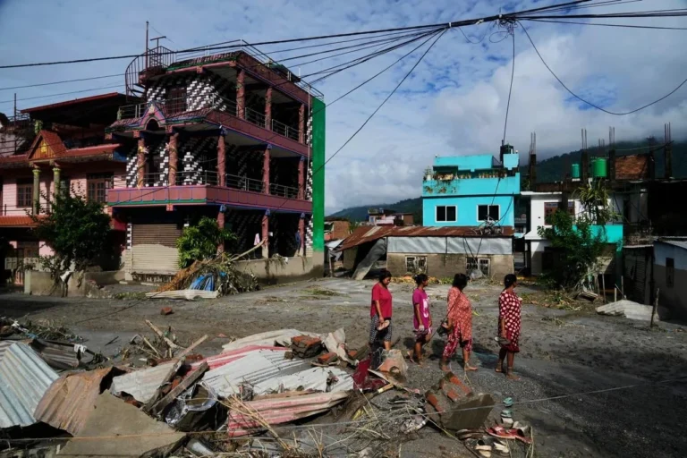
The impact of the collapse was devastating for downstream communities. Shugar noted that the imagery reveals how debris has buried residential areas, leaving a scene he described as heart-wrenching. According to Cook, a researcher at the Université Grenoble Alpes in France, the debris maintained significant momentum as it traveled through the narrow, steep valley, with melting ice contributing to mud and water flows that reached several stories in height.
The Trishuli River experienced a dramatic surge, with before-and-after satellite comparisons of the Kolpurtar, Betrawati, and Syapru Besi regions showing a significantly widened river channel. The water, which shifted from its natural greenish hue to a dark, sediment-heavy brown, overtopped its banks and deposited thick layers of debris. In the Betrawati area, some structures remain partially visible, though much of the landscape is now submerged in mud. In Syapru Besi, a popular trekking hub, the force of the water was so intense that it pushed upstream, causing widespread destruction of buildings.
Mountain geographer Alton Byers, who has spent years studying glacial hazards in the region, described the aftermath as a “wasteland” that will require years of recovery. Byers, a faculty research scientist at the University of Colorado at Boulder, characterized this as the largest glacier flood he has ever witnessed. He believes the event is linked to broader climate trends, noting that warming temperatures are destabilizing high-altitude permafrost that has historically held rock and ice in place for millennia.
While both Cook and Shugar acknowledge that landslides and slope failures occur naturally, they emphasize that the current environmental context makes such events more probable. “All the indicators, to me, point to the impacts of warming trends,” Byers stated. Cook added that while a direct, singular link to climate change cannot be confirmed at this stage, the increasing frequency of such events is consistent with a warming planet. “While we cannot at this point directly link this collapse to climate change, it is not unexpected to see more events of this type with a warming climate,” she said, adding, “Not this big, hopefully not this big.” The report also notes that a popular tourist spot where a famous trek to Langtang begins, the flooding toppled and swept away buildings in Syapru Besi. The report also notes that a side river is now wider too, because the flow was so powerful it pushed upstream, in before and after images. The report also notes that he said, that can be a catalyst for a series of cascading events. The report also notes that “In this case, the permafrost that for millennia has helped to hold together high-altitude rock and ice and soil and glaciers is now weakening and becoming unstable.”. The report also notes that the Associated Press’ climate and environmental coverage receives financial support from multiple private foundations. The report also notes that aP is solely responsible for all content. The report also notes that a list of supporters and funded coverage areas at AP.org, find AP’s standards for working with philanthropies.






Comments